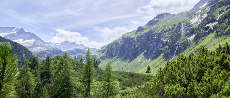
Untersulzbachtal
Neukirchen am Großvenediger
Peaks and crossings
- Großer Wartkopf (2.640 m)
- Keeskogel (3.291 m)
- Schwarzes Hörndl (3.100 m)
- Pillewizer (3.000 m)
- Großvenediger (3.674 m)
- Kleinvenediger (3.471 m)
- Hohe Fürleg (3.244 m)
- Habachspitze (3.062 m)
- via Bettlerscharte (2.050 m) into the Obersulzbachtal
- via Zwischensulzbachtörl (2.918 m) to the Obersulzbachkees *only possible with complete ice equipment and rope
Historic mining
Historic mining
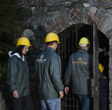
Historically and geologically interesting is the former copper mine at Hochfeld, which was closed down in 1857. Copper was mined here for 500 years. Part of the mine was reopened and now about 1.2 km are open to visitors with a guided tour in the exhibition mine. Some of the copper ore was very pure with a low content of gold and silver, which made mining even more attractive. In the outer area of the valley around the Blauwandstollen, the Celts and Romans were probably already mining copper. The geology trail "Blick ins Tauernfenster" provides fascinating insights into the geology of the Tauern Window.
Rare minerals
The Untersulzbachtal is known for its abundance of minerals. Rock crystal, titanite, apatite, aquamarine and adularia are only a few of those found. Worldfamous and, thanks to its size, beauty and wealth of forms also unique in the world, are the deposits of epidote in the Knappenwand mining location. In 1865, Pinzgauer resident Alois Wurnitsch found the first epidote crystals in the Knappenwand. This sensational find led to a mining boom. Since 1998, the Zukunftskollegium Nationalpark Hohe Tauern in Neukirchen arranges presentations and research under the scientific supervision of Vienna University and Vienna Natural History Museum. The mining for epidote over a hundred years created a 25 m deep, 15 m high and 10 m wide cavern in the Knappenwand, which was made accessible by a narrow path. Currently, the in-situ epidote amphibolite is being exposed for display purposes.
Untersulzbachkees - Devil's Stone and Glacier Milk
Untersulzbachkees - Devil's Stone and Glacier Milk
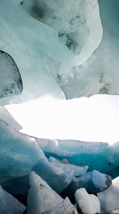
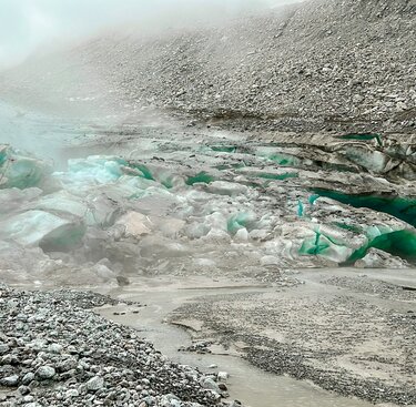
The Untersulzbachkees is particularly impressive as a model tongue glacier. In the late glacial period (approx. 15,000 - 10,000 years ago) it extended into the Salzach valley, which was already ice-free. The ramparts of the terminal moraine can still be seen today near the Hieburg. Erratic blocks like the one to the west of the Rosentalwirt ("Teufelsstein") were once transported by the glacier from the interior of the Tauern valleys.
Thundering natural monument - Untersulzbach Falls
The circular trail leads from Gasthof Schütthof (or Schiedhof) first through grey alder stands. This is followed by a montane spruce forest with a beautiful herb layer (moss stitchwort, cl. glueweed, alpine measure, alpine butterwort). Sycamore maple and silver birch grow on the steep slopes. Higher up, blueberry, wood sorrel and alpine burnet dominate the undergrowth (ground-sour spruce forest). Here, the water of the Untersulzbach falls over a 50 m high rock step into a circular stilling basin. The high humidity creates a special climate in which various mosses and lichens, such as the yellow luminescent lichen, thrive. The peak of the circular trail above the waterfall is at about 1000 m above sea level. The stream overcomes several smaller cataracts until it finally flows through a gorge about 200 m long.
Walking time: Circular trail of about 1 ½ hours with viewing pulpits.
Into the core zone - Stockeralm to Aschamalm
Into the core zone - Stockeralm to Aschamalm
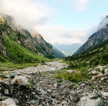
The hike takes us along the waterfall circular trail through forests to alpine pastures and into the core zone of the Hohe Tauern National Park. It is the starting point for hikes to the Finkalm and the Aschamalm. From there on there is pathless terrain, there is no path to the Untersulzbachkees. The alpine meadows are interspersed with boulder fall material. Gentians, Scheuchzer's bellflower with its dark blue nodding flowers and field thyme can be found here.
Walking time: approx. 4 hours, descent approx. 2 hours.
Geological Trail "View into the Tauern Window" and Hochfeld Exhibition Mine
The route to the exhibition mine leads either via the waterfall circular hiking trail (very scenic) or directly on a wide alpine path from the Einöd bridge to the exhibition mine. The miners' house next to the Hieronymus-Erbstollen gallery mouth is the information point and starting point for guided tours of the exhibition mine. Here you can vividly experience the hard working conditions and mining methods of past mining eras. The mine also offers a view of the "Tauern Window", the diverse geological structure of the Hohe Tauern. The tunnels also provide a habitat and shelter for many creatures.
Walking time: From the car park along the geological trail to the mine, approx. 1 hour. Guided tour of the mine in the summer months

