Climate of the Hohe Tauern
A hike from the valley to the highest peaks of the national park is equivalent to a 4,000-kilometre journey to the Arctic.
On a hike from the valley to the highest peaks of the national park, you cross altitude levels that correspond to all climate zones from Central Europe to the Arctic. Here you walk through four vegetation stages, which can be distinguished on the basis of the climatic conditions that change with increasing altitude.

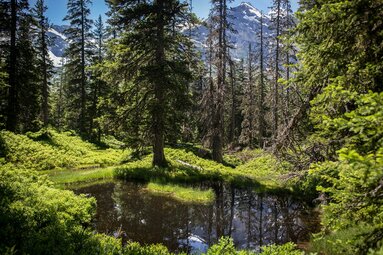
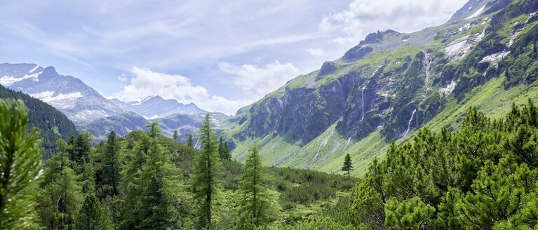
The first stage is the montane stage, which consists mainly of a beech-spruce forest. The next stage is the subalpine stage at about 2,200 to 2,300 m, where a larch-mirch forest predominates, followed by a dwarf shrub belt. The subalpine stage is followed by the alpine stage. This is above the tree line, which means that mainly grassy areas can be found here. The last stage is the nival stage, or snow stage, where only isolated plants live.
Different climatic conditions in the Hohe Tauern are not only caused by the different altitude levels. The direction and inclination of the slopes, as well as the shady and sunny sides, also create different climatic conditions. These also differ on the north and south sides of the Alps, with the tree line reaching further up in the south than in the north.


