Obersulzbachtal
Neukirchen am Großvenediger
Peaks and crossings
- Großvenediger (3.674 m)
- Großer Geiger (3.360 m)
- Schlieferspitze (3.290 m)
- Gamsspitzl (2.888 m)
- Maurer Keesköpfe (3.311 m)
- Keeskogel (3.291 m)
- via Krimmler Törl (2.776 m) to the Warnsdorfer Hütte
- via Maurer Törl (3.104 m) to the Essener und Rostocker Hütte (2.207 m)
- via Obersulzbachtörl (2.918 m) to the Johannis Hütte (2.121 m)
- via Venedigerscharte (3.407 m) to the Defregger Haus (2.963 m) and to the Neuen Prager Hütte (2.782 m)
- via Bettlerscharte (2.050 m) into the Untersulzbachtal
Glacier Land

Glacier Land
Narrow valleys with steep slopes lead into the magnificent glacial area of the Grossvenediger. Nine glaciers are located in the catchment area of Obersulzbach. The largest of these is the Obersulzbach-Kees, which once formed the valley. Its glacier terminus extend up to the Obersulzbach Hut as late as 1850, today the glacier snout is located far into the valley. In 2007 alone, the glacier terminus shrank by 47.5 m compared to the year before. In front of the glacier, near the "Turkish Camp", a lake has formed and the edge of the ice is quickly dissolving. In the sparsely vegetated glacier forefield, a nature trail illustrates the history of the glacier.
Water Realm
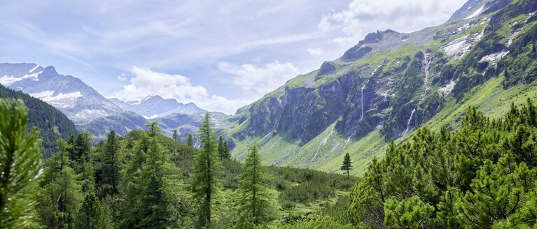
The water in Obersulzbach comes from the glacial area. Most of the water flows in the summer months (70 % of annual runoff in June, July and August). The power of the mighty alpine stream can be seen from the river erosion. Also fascinating and declared natural monuments are the waterfalls: the Gamseck-Fall at Berndlalm (over 80 m high) and the nearby Seebachfall, a 300 metre high curtain waterfall. A destination worth a visit is Seebach Lake at 2,083 m above sea level, which can be reached from Hopffeldboden via a steep but not difficult trail. You will be rewarded with magnificent views of the Grossvenediger massif for your effort. These locations with plenty of snow and protected from the wind are home to an abundance of alpine roses. West of Seebach lake is largely silted up Small Seebach Lake.
Ibex Territory
The alpine fauna can be excellently observed in Obersulzbachtal Valley. The ibex, having become extinct, were reintroduced to Obersulzbachtal Valley in 1978. The animals reach a weight of up to 100 kg, the horns can get up to 1 metre long and weigh 15 kg. The nannies' horns only get up to 30 cm long. A small colony of ibex can be seen on the way from the Kürsinger Hut to Keeskogel mountain. It is also very likely you will see snow grouse here. In summer they are speckled brown, in winter snow-white and thus optimally camouflaged. They remain in the region even during harsh winters. Special down and feathers on the feet keep them warm in freezing temperatures.
Valley hike to the Postalm

Valley hike to the Postalm
The trail leads along the forest road past the Blausee lake, first through grey alder forest, then montane spruce forest until you come across flower-rich alpine meadows in the area of the Kampriesenalm. Here the trail branches off to the west to Seebachsee. Continue through spruce forest to the Berndlalm. Highlights of the hike are the Seebach Falls (Schleierfall, natural monument) and the Gamseck Falls (short side trail with beautiful views, also two viewing pulpits at GH Berndlalm). From here you walk for about 1 hour past alpine meadows (gentian, arnica, crocus in spring) to the Postalm. Several large rock falls, glacier pots at the Poschalm and beautiful glacier cuts, witnesses of former glacier activity, can be admired on the way.
Walking time: approx. 3 ½ hours from GH Siggen, approx. 2 ½ hours from PP Hopffeldboden.
Spring Lake at the Entrance to the National Park - The Blue Lake
Not yet in the National Park but in a protected landscape area lies the Blausee - about 15 minutes' walk from the Siggen Inn. It was created by the dynamics of the Obersulzbach about 100 years ago and was revitalised in 2006/07. An amphibian biotope invites you to discover it, there are secured areas to play in the glacial stream (be careful not to go above the torrent dam!), toilets and rest areas are ideal for a family outing. Dragonflies, grass frog, tree frog and common toad cavort in the water. Large brown trout and minnows can be observed in the lake.
Walking time: approx. 15 min.
On the highest peaks – Grossvenediger

On the highest peaks – Grossvenediger
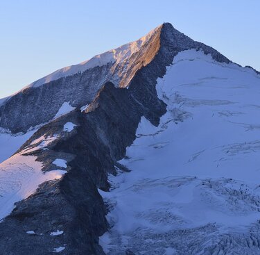
The first day takes us up to the Kürsinger Hut Early in the morning on the second day, the trail leads over loose boulders and later magnificent glaciers, past the impressive northface to the Venedigerscharte. After around 4 hours we reach the summit of the Grossvenediger at 3,674 m above sea level.
Walking time: approx. 4 ½ hours Hopffeldboden to Kürsingerhütte, approx. 4-5 hrs. to the summit. In the summer months, daily guide summit tours with mountain guides are available.
To the edge of the ice - Obersulzbachtal Glacier Trail
At the end of the valley you can experience the landscape shaped by the glacier. The interesting educational trail in the forefield of the Obersulzbachkees shows the retreat stations of the glacier since 1850. Striking moraines, glacial striations and the colonisation of the scree slopes by pioneer plants can be seen. The accompanying brochure "Gletscherweg Obersulzbachtal" describes the special features of the twenty stopping points. From the trail there is a magnificent view to the western flank of the Großvenediger and out through the valley to the north to the western Kitzbühler Alps.
Walking time: Postalm to Obersulzbachhütte approx. 15 min., educational trail (3.5 km) in approx. 3-4 hours


